Export
Exporting data
When you have completed the review of your extraction you can export the data in a number of formats.
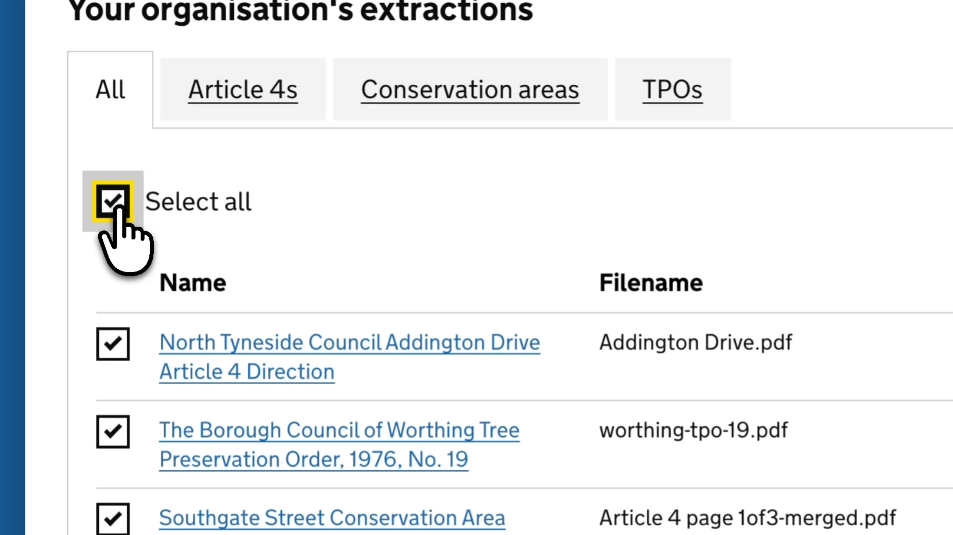
From the documents list, you can export 1 or more extractions by selecting the item(s) on the left hand side then clicking the ‘Export selected’ button. You will then see a window that allows you to configure the file type. Current options are:
- CSV
- GeoJSON
- Shapefile
- GeoTIFF*
*Selecting GeoTIFF will only export the extracted map(s) as an image file with embedded spatial data, not the full data set.
For certain file types (GeoJSON and Shapefile) you also have the option to configure the coordinate reference system and whether you want to export all items into one file, or all items individually.
If you want to quickly select all documents, click the 'Select all' checkbox. To deselect, click it again.
You can also export individual items from the review page. Click the export data button on the bottom left hand side of the map, then follow the same steps as above.
Contact
If you couldn't find an answer to your question here, please contact us at extract@communities.gov.uk or reach out to us on Slack.